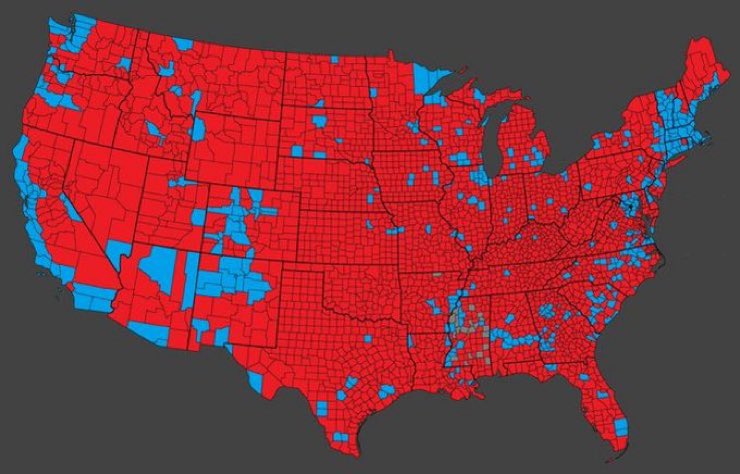
This is a US counties voting map. I just saw this on X, where it was called "The list of Trump contributors." It's popular, simplistic, and misleading; because it hides population density and the inordinate influence of the big cities. It represents land area, and the prevalent ideology of people close to the land. Only people vote; not land, not crops, not livestock. Metro areas are the problem, fostering liberalism and dependancy. The deepest blue liberal ideology ink, that's tinting this entire country blue. See a better map in the comments.
This is a US counties voting map. I just saw this on X, where it was called "The list of Trump contributors." It's popular, simplistic, and misleading; because it hides population density and the inordinate influence of the big cities. It represents land area, and the prevalent ideology of people close to the land. Only people vote; not land, not crops, not livestock. Metro areas are the problem, fostering liberalism and dependancy. The deepest blue liberal ideology ink, that's tinting this entire country blue. See a better map in the comments.